While conducting research for an
upcoming article, Banana Republican came across this nifty tool on
the Miami-Dade County Police Department's website called "Crime
Mapping." Basically you can track criminal activity in any
neighborhood in the city of Miami and unincorporated Miami-Dade.
Imagine Google maps allowing you to pinpoint where the highest
concentration of robberies and burglaries occurred during the recent
holiday season. That's what Crime Mapping allows you to do.You can also get case numbers for each
offense listed on the map by clicking on the little crime icons.
IBanana Republican spent a couple of
hours mapping criminal activity from the past 12 months to find the most dangerous spots in Greater Miami.
Homicides (Jan. 30, 2012 - Jan. 31, 2013):
Robberies (Jan. 30, 2012 - Jan. 31, 2013):
Burglaries (Jan. 30, 2012 - Jan. 31, 2013):
Crimes involving weapons (Jan. 30, 2012 - Jan. 31, 2013):
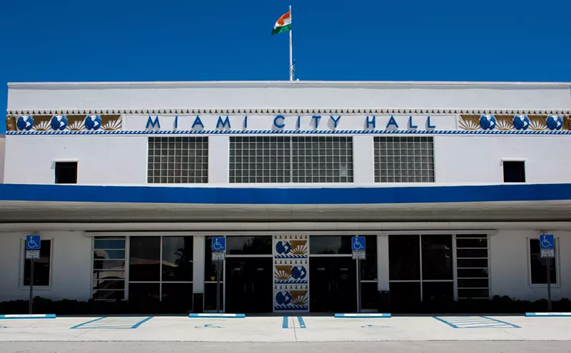
The police department licenses the software from The Omega Group, a San Diego-based technology company, according to Mary Fuentes, enterprise solutions director for the Miami-Dade information technology department.
"We can do a bunch of cool things using geographic systems technology," she says. "Every department in the county uses the technology to communicate with each other and residents."
Follow Francisco Alvarado on Twitter: @thefrankness.
Follow Miami New Times on Facebook and Twitter @MiamiNewTimes.