
Photo by Joe Raedle / Getty Images

Audio By Carbonatix
Update, 11 p.m.: The latest advisory from the National Weather Service says Dorian is projected to strengthen into “a powerful hurricane” over the next couple of days. Coastal areas of the Southeast could see four to eight inches of rain, and some isolated areas might get ten inches. Forecasters say Florida is also subject to “the risk of dangerous storm surge and hurricane-force winds.” So far, there are no clear projections for where the hurricane will hit the United States.
Florida Gov. Ron DeSantis formally declared a state of emergency this afternoon as Hurricane Dorian continues on its path toward South Florida.
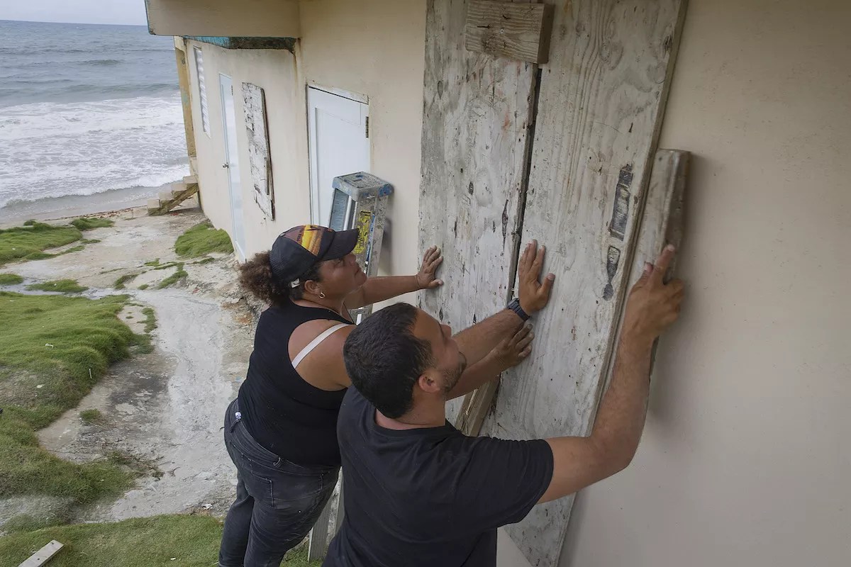
Dorian strengthened to a Category 1 hurricane earlier this afternoon as it descended upon the Virgin Islands. Wind gusts registered up to 97 mph on the island of Saint Thomas. The storm’s current trajectory will take it toward the northeast shore of Puerto Rico, which is still recovering from Hurricane Maria two years ago. The U.S. territory can expect tropical-storm-level winds tonight as Dorian passes through the alley between Puerto Rico and the British Virgin Islands.
The hurricane is expected to intensify as it emerges from the Caribbean Sea toward warm Atlantic waters and Florida’s east coast. Although it’s still too early to be certain, projections say the storm could hit as a Category 3 hurricane when it makes landfall in Florida Sunday night or Monday morning. Nearly all of Florida, from Miami to Jacksonville, is in the forecast cone.
Floridians should keep their eyes on Dorian and continue hurricane preparation as a precaution. The Florida Division of Emergency Management recommends residents have a week’s worth of supplies.
As Hurricane #Dorian approaches, I’ve declared a state of emergency to ensure local governments and emergency management agencies have ample time, resources and flexibility to get prepared. Please continue to follow local reports and @FLSERT for updates. https://t.co/FyQM6wd8er
— Ron DeSantis (@GovRonDeSantis) August 28, 2019
Residents should have 7 days of supplies in preparation of hurricane #Dorian. A stocked supply kit has water, nonperishable food, prescription medications, flashlights and extra batteries. Here's a checklist to help you stock your kit. #FLPrepares pic.twitter.com/KRS7MLqZym
— FL Division of Emergency Management (@FLSERT) August 28, 2019
The National Oceanic and Atmospheric Administration predicts Dorian will “strengthen and become a powerful hurricane during the next few days over the Atlantic waters.” Sections of the Florida coast can expect four to eight inches of rain, with isolated areas of ten inches or more. The hurricane’s storm surge might arrive at the same time as king tides in South Florida, so it’s imperative residents be prepared for potential flash floods.
Even if Miami is fortunate enough to dodge the brunt of Dorian, increased rainfall could worsen flooding, expected to begin tomorrow and continue through next Tuesday. King tides occur annually and can flood streets near waterways and the coast for hours. City officials have already urged locals to prepare for king tides, including cautioning cars against driving through floodwater and advising residents in low-lying areas to employ flood-mitigation techniques such as using sandbags. No official guidance has been released regarding the potential interplay of Dorian and the expected king tides.
The National Hurricane Center will release its next complete advisory at 11 p.m. An intermediate hurricane advisory is expected at 8 p.m.