Photo by Bryan Katz/Flickr

Audio By Carbonatix
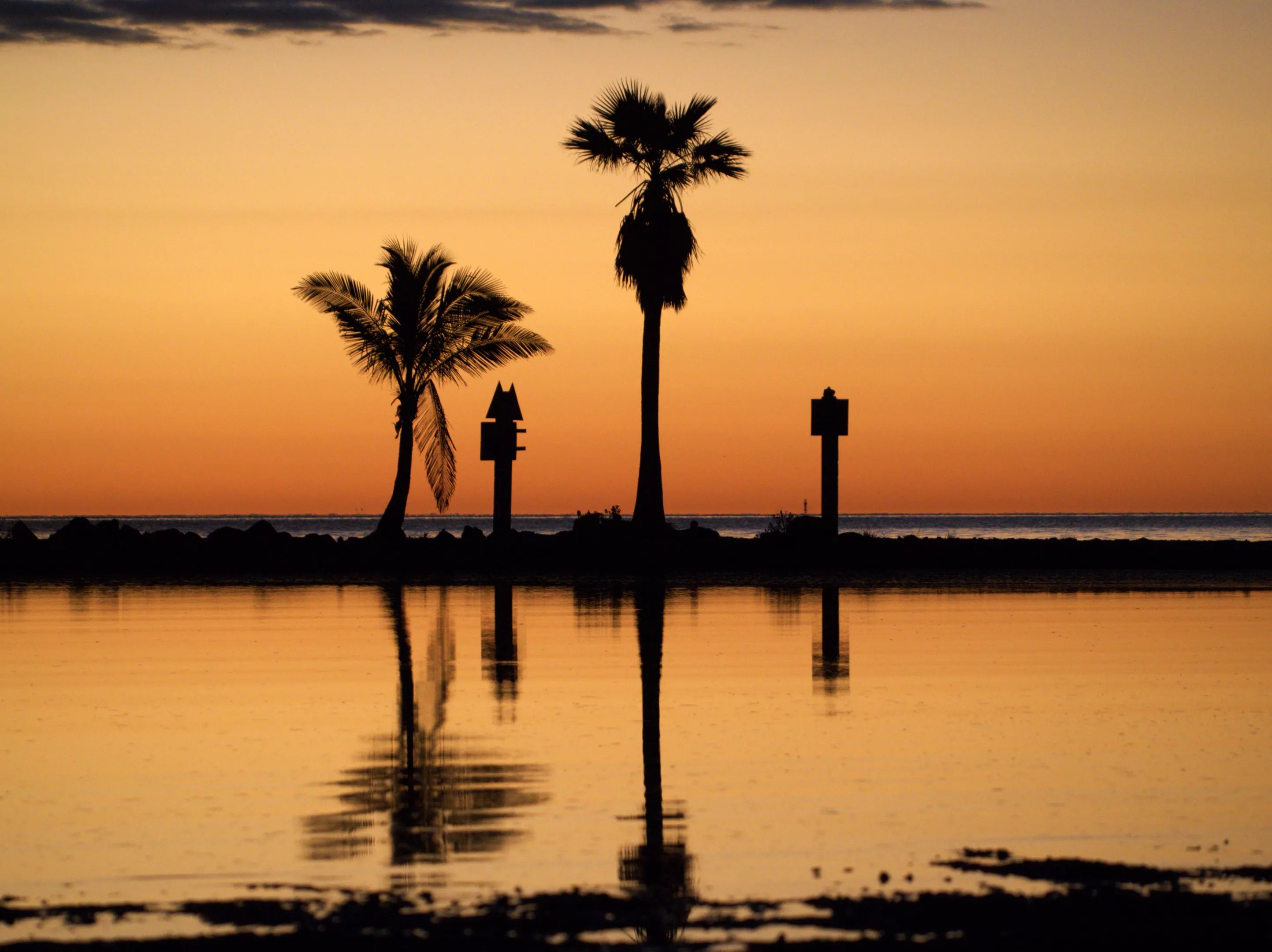
Your Instagram feed may be full of pictures of sunrises and sunsets over the next week or so. Saharan dust is on its annual voyage to the Sunshine State.
A large plume of Saharan dust is moving over the Atlantic Ocean towards South Florida, bringing the potential for hazy skies, colorful sunrises, and increased cloud cover, according to the National Weather Service (NWS) Miami. While the dust typically hinders storm formation, there is still the potential for heavy rainfall as moisture moves over the state, especially across the east coast metro area, this weekend. NWS expects the dust to arrive in Florida on Saturday.
A plume of Saharan Dust will arrive across South Florida late this week, out ahead of a weak frontal boundary and moisture which will bring increasing rain chances this weekend.
A more concentrated plume of Saharan Dust is modeled to arrive across the region mid next week. pic.twitter.com/Bvw3AqYEtE
— NWS Miami (@NWSMiami) May 28, 2025
The dust, made up of mineral and sand particles, comes from the Sahara Desert in North Africa, where strong winds carry it across the Atlantic Ocean. The National Oceanic and Atmospheric Administration (NOAA) says the dry, dusty air – the Saharan Air Layer (SAL) – forms over the desert in the late spring, summer, and early fall. The air layer can slow down tropical storm development, just in time for hurricane season, which begins on Sunday, June 1.
However, the dust makes breathing difficult for people with respiratory issues and allergies and could lead to eye irritation.
Of course!
Saharan Dust tends to suppress widespread shower and thunderstorm activity both over South Florida and over the Tropical Atlantic.
It acts to create an inversion in the atmosphere which stabilizes the atmosphere. pic.twitter.com/SGdhy49CbX
— NWS Miami (@NWSMiami) May 28, 2025
“Saharan Dust may indeed keep the heavy rainfall threat confined to a localized area,” NWS wrote on X, the platform formerly known as Twitter. “However, the SAL’s presence may actually allow for the potential of a few stronger storms with hail and gusty winds being an issue.”
NWS predicts a good chance for rain and thunderstorms this weekend, despite the anticipated arrival of the first plume. Storms will also likely occur on both Saturday and Sunday nights. The rain could continue on Monday, with a 50 percent chance of precipitation and a high of 88 degrees.
Computer models forecast that a second, more concentrated plume of dust will reach South Florida by mid-next week. Tuesday’s forecast includes showers and a possible thunderstorm. By Wednesday and Thursday, forecasts predict cloudy skies and lows of 78 degrees in the evening.
Hopefully, vibrant skies will follow the rain. Get your cameras ready.