Overnight, Eta drenched South Florida, leaving isolated areas flooded, as the National Weather Service had forecasted. Northern Miami-Dade and parts of Broward County seem to have gotten the worst of it, with up to 16 inches of rain in certain areas. A flash flood warning is in effect until 9 p.m.
Some roads are completely under water. Canals have merged with roads and some fire hydrants are nearly submerged. Please stay home and stay safe. #HappeningNow #Lauderhill pic.twitter.com/aPXfGcdeRv
— Lauderhill Fire PIO (@LauderhillFDPIO) November 9, 2020
#Eta has flooded my neighborhood- luckily I’m one of the higher houses, but storm total is up to 16.10”, over 5” in the past 4 hours. pic.twitter.com/IbWL8hHsuq
— Eric Blake (@EricBlake12) November 9, 2020
Brickell streets flooded ! #ETA making its way through Dade County.
— Jessica Vallejo (@Jvallejotv) November 9, 2020
Flash Flood Warning remains in effect. #TropicalStormEta #brickell pic.twitter.com/UQoF6KaE6a
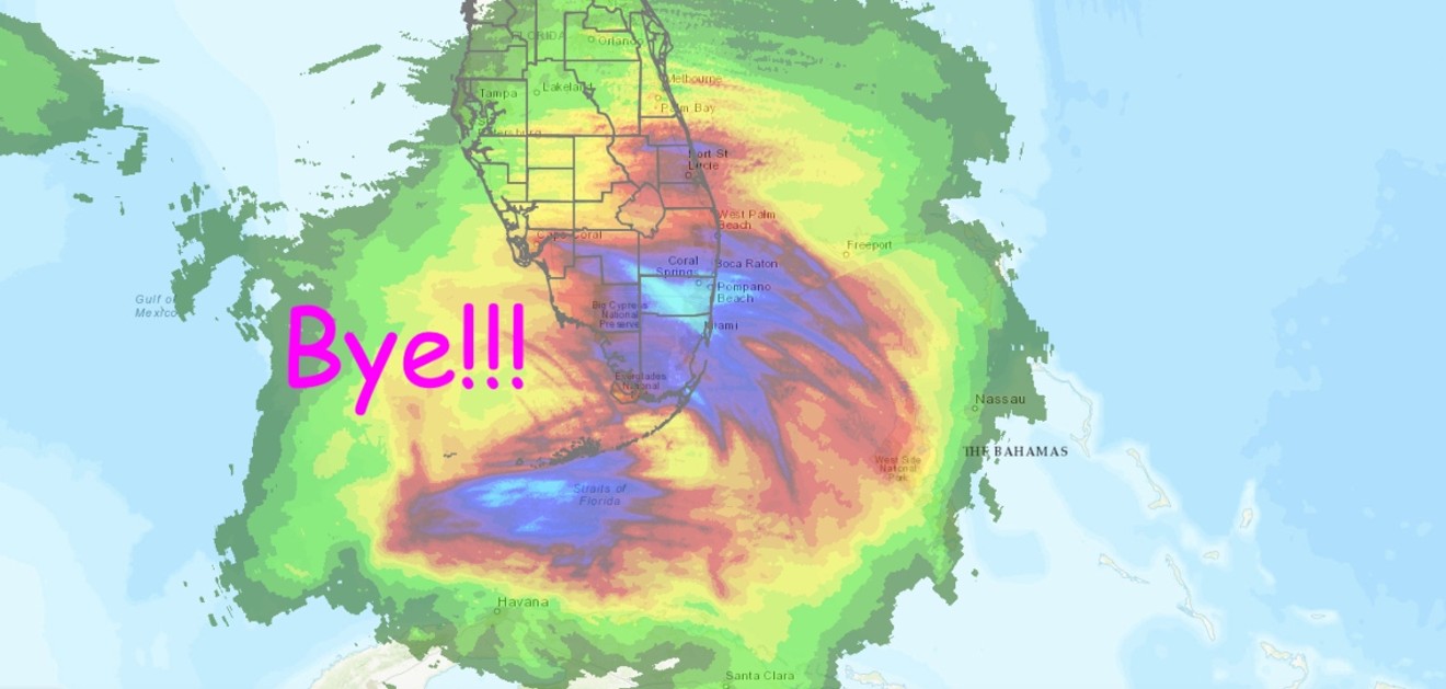
Meteorologists with the National Weather Service say Eta will move away from the Florida Keys and South Florida today. Then, it'll sort of just hover over the Gulf for a few days, finally starting to trudge north on Wednesday. In the meantime, there's an increased risk of flooding in South Florida because of the outer rain bands that'll keep things wet for the next few days.Good Morning Edgewater, please be careful with floods between Biscayne Blvd. and N.Bayshore Dr. 15 st. To 23 st. #SafetyFirst #StayHome @MajorFrankF @MoralesMiamiPD @Jcolina67 @CityofMiami @BNAedgewater @kenrussellmiami @miamiparks @NWS pic.twitter.com/dC0ip3t2wC
— Freddie Cruz (@FreddieCruz16) November 9, 2020
Although no major damage has been reported, thousands of South Florida homes lost electricity overnight. As of this morning, at least 19,340 households in Miami-Dade and 8,490 in Broward are without power, according to Florida Power & Light.
Hurricane season officially ends November 30. But don't exhale just yet — forecasters are watching two systems in the Atlantic that could bring more "tropical" weather to Florida. Some storms just can't take a hint.
Because 2020 absolutely refuses to stop, we've got more blobs to watch. The one in the Atlantic is nbd at this time, but it could strengthen into Theta and break 2005's record for named storms. The Caribbean one (Iota??) is worth keeping an eye on https://t.co/L0OwQjlTAL pic.twitter.com/atAcU3tYqn
— Alex Harris (@harrisalexc) November 9, 2020