Good rule of thumb: When a storm system hasn't even morphed into a named tropical storm yet, it's way too early to raid Publix for vodka, er, emergency water supplies, no matter what the TV news is saying this morning.
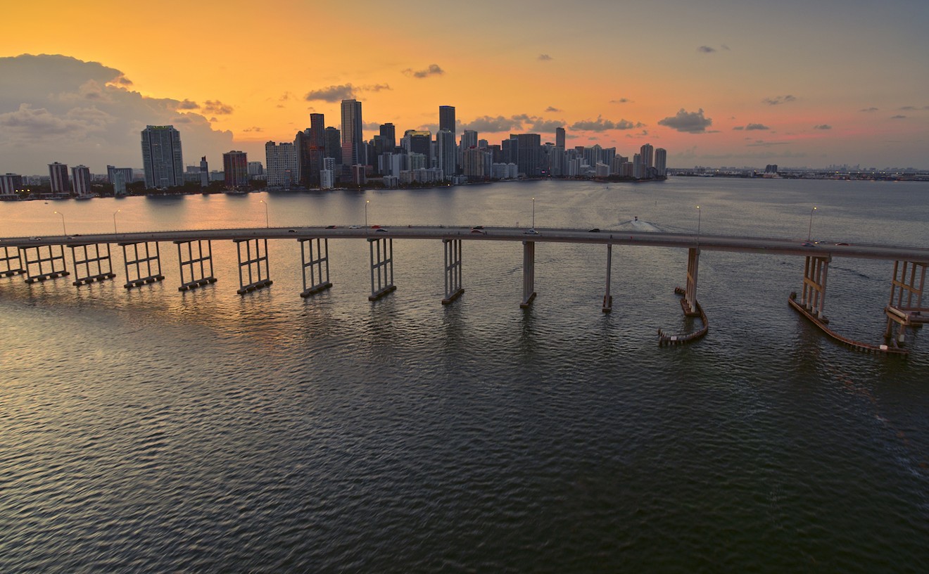
But if you live in South Florida, it is worth watching a system brewing east of the Lesser Antilles. There's a high chance it turns into a depression in the next five days, and it's definitely headed northwest toward our neck of the woods. Hurricane hunter aircraft are on call to check the system this afternoon.
The system, currently just a tropical wave called 96L, is churning up heavy thunderstorms and winds about 350 miles east of the Lesser Antilles.
"Environmental conditions are expected to be conducive for development during the next day or so," the National Hurricane Center says, as the storm moves northwest around 15 mph.
The storm will probably continue growing today and tomorrow as it chugs toward Hispaniola, with forecasters expecting it to pass over the Dominican Republic and Haiti this Saturday.
That could be good news for everyone north of the island, where mountain ranges have a tendency to tear up building storms like this one.
"[The] rugged terrain would likely disrupt the storm," Dr. Jeff Masters writes on his blog, Weather Underground. "With dry air expected to be in the Caribbean, the moderate levels of wind shear would likely be able to drive the dry air into the circulation of 96L, keeping any development slow."
If the storm survives its Saturday pass over the island, though, it has a decent chance of restrengthening over open water, and most models show it heading toward the Bahamas and South Florida.
"If 96L does develop, it would likely be similar to Tropical Storm Bertha of early August while in the Caribbean," Masters writes, "a disorganized system that struggles against dry air."
In other words: Hold off on that vodka run, but keep an eye on this one over the weekend.
Follow Miami New Times on Facebook and Twitter @MiamiNewTimes.